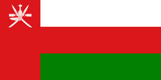
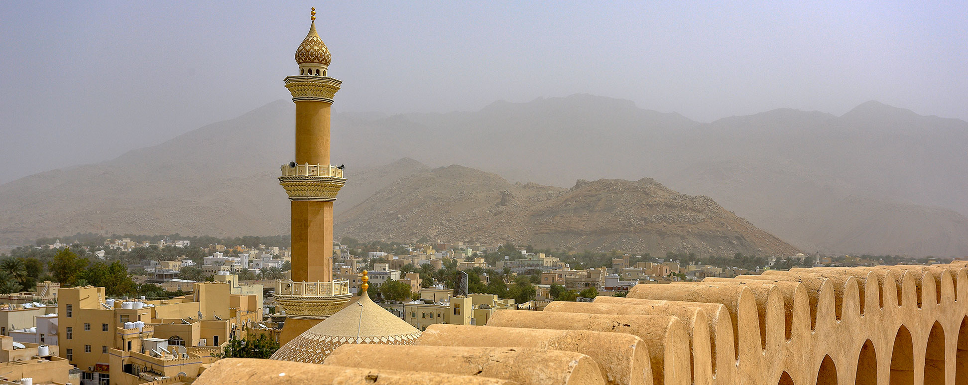
Map of Oman, Arabian Peninsula
About Oman

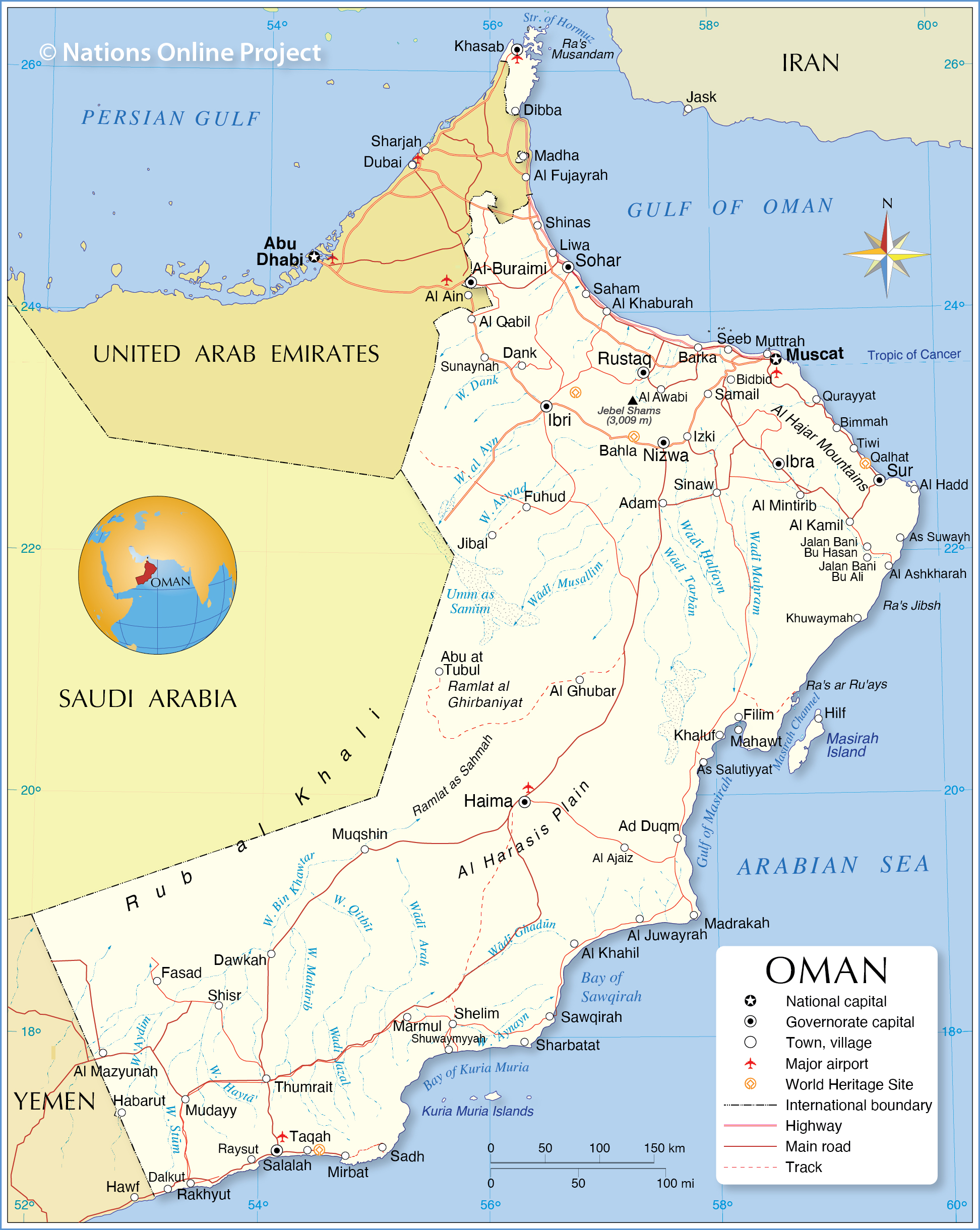
Oman borders Saudi Arabia, United Arab Emirates, and Yemen; it shares maritime borders with Iran and Pakistan. The country is bounded by the Arabian Sea and the Gulf of Oman; at the Musandam Peninsula it borders the Strait of Hormuz and the Persian Gulf.
With an area of 309,500 km², the sultanate is slightly smaller than Poland, or somewhat larger than the US state of Arizona.
Oman has a population of 4.7 million people (in 2019, Omanis 2.6 million (56%); Expatriates 2 million (44%)). The capital and largest city is Muscat (pop. more than 600,000). Spoken languages are Arabic (official) and Swahili.
Map of Oman

Political Map of Oman
The map shows Oman and surrounding countries with international borders, the national capital Muscat, major cities, main roads, and major airports.

Political Map of Oman
The map shows Oman and surrounding countries with international borders, the national capital Muscat, major cities, main roads, and major airports.
- Get link
- X
- Other Apps
- Get link
- X
- Other Apps

Comments
Post a Comment