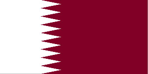
Map of Qatar, Arabian Peninsula

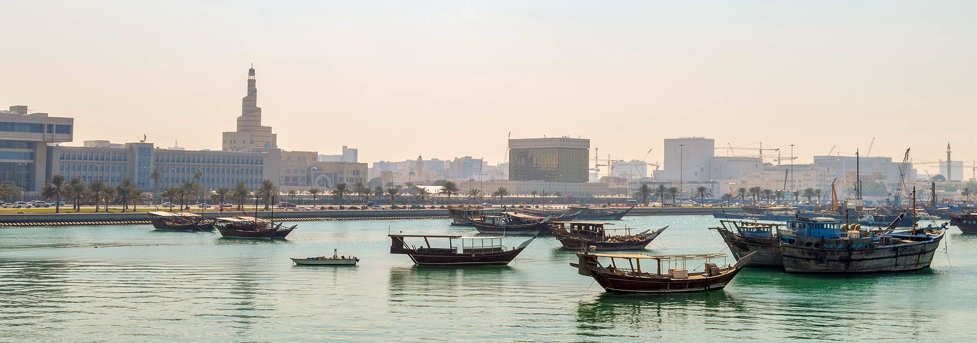
Dhows at the Doha Corniche in Old Doha, the spiral minaret of the Qatar Islamic Culture Center in the background.
Image: Francisco Anzola
About Qatar

The Qatar peninsula is approximately 188 km (117 mi) long and 85 km (53 mi) wide, it covers an area of about 11,570 km² (4468 sq mi), compared it is about one quarter the size of Estonia, or slightly smaller than the US state of Connecticut. The country includes a small number of islands, reefs, and shoals in the coastal waters of the peninsula. In the near future, Qatar could become an island if Saudi Arabia's intent to build a channel alongside the Saudi-Qatari border, from the Persian Gulf to the Gulf of Salwa see the light of day. [1]
Qatar has a population of 2.7 million people (Qataris and Non-Qataris); only about 25% of the country's citizens are women (in 2019). [2] Capital city of Qatar is Doha (Ad Dawhah, pop 400,000). Spoken language is Arabic (official).
Qatar's Primary Administrative Divisions
Qatar is divided into eight baladiyat (sing: baladiyah; municipalities). These municipalities are:
Al Shamal, Al Khor & Al Thakhira, Al Daayen, Umm Salal, Al Rayyan, Doha (Ad Dawhah), Al Sheehaniya, and Al Wakra.
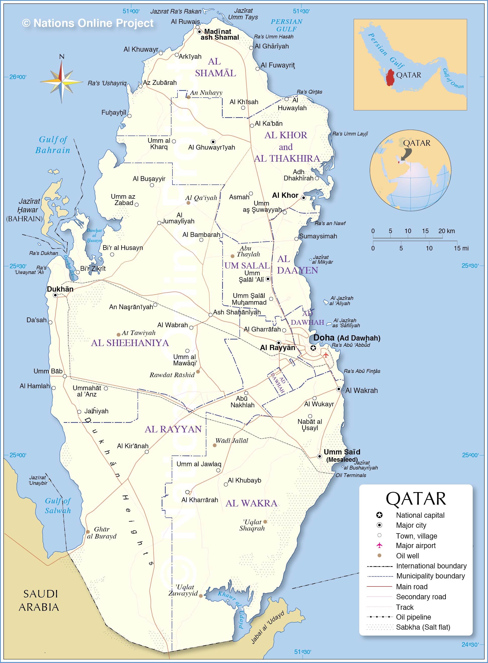
Map of Qatar

Political Map of Qatar
The map shows Qatar and neighboring countries with international borders, administrative boundaries, the national capital Doha, municipality centers, major towns, main roads, and major airports.

Political Map of Qatar
The map shows Qatar and neighboring countries with international borders, administrative boundaries, the national capital Doha, municipality centers, major towns, main roads, and major airports.
- Get link
- X
- Other Apps
- Get link
- X
- Other Apps

Comments
Post a Comment